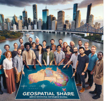
Geospatial Share
Events Calendar
Our mission is to build a supportive and inclusive community where students, researchers, and professionals can grow their geospatial skills together. 🌱
Upcoming Workshop
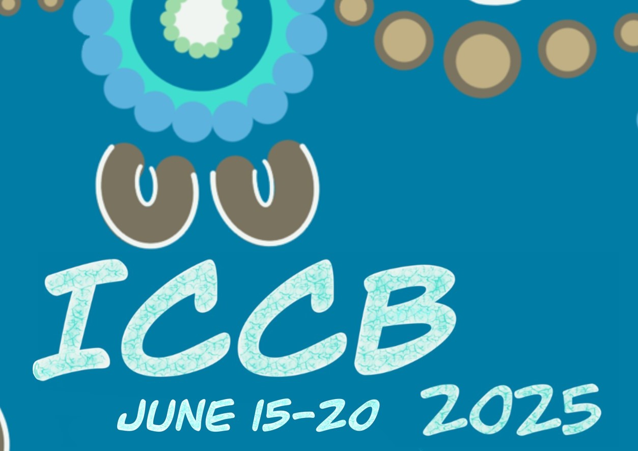
International Congress for Conservation Biology (ICCB) Workshop
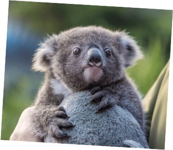
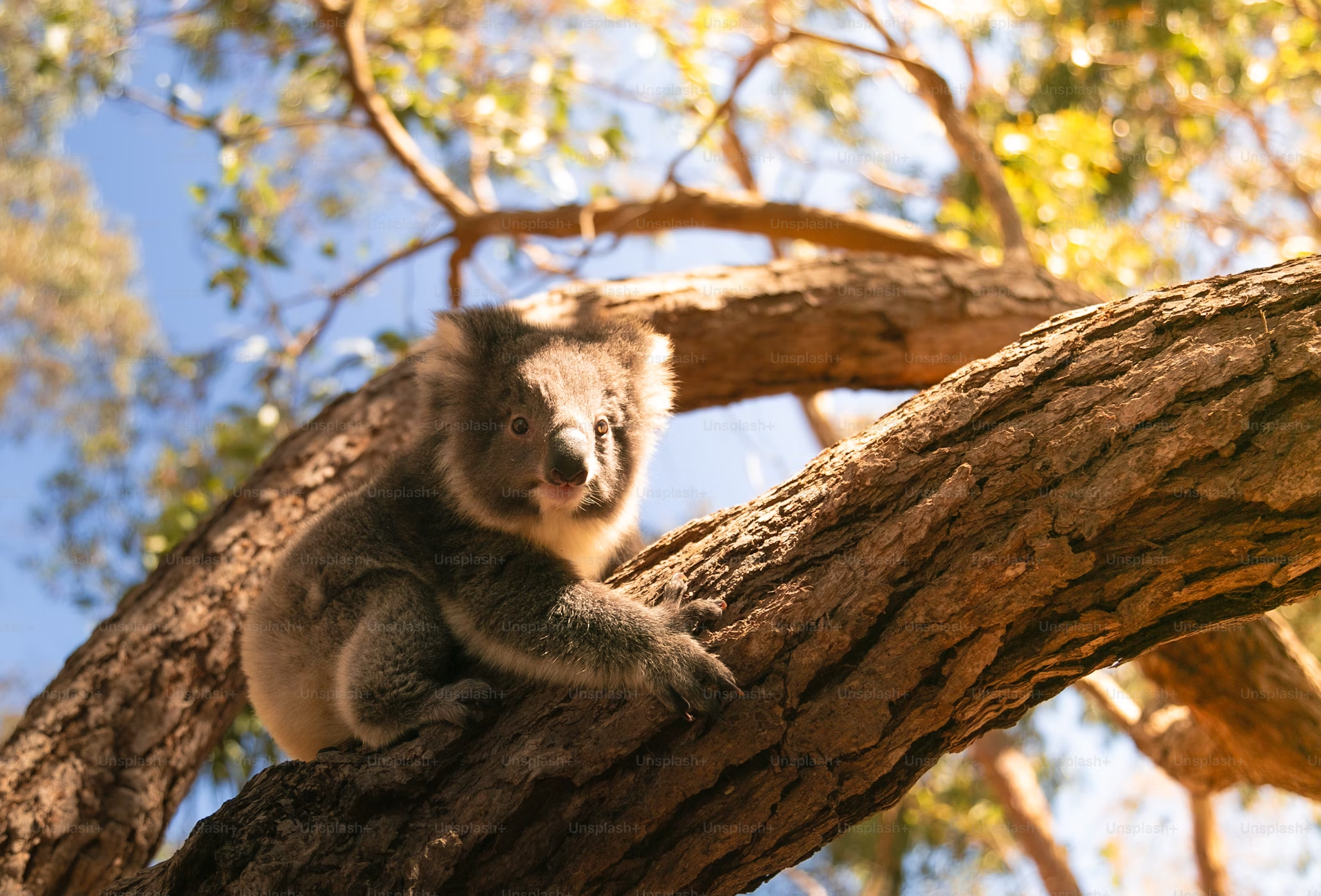
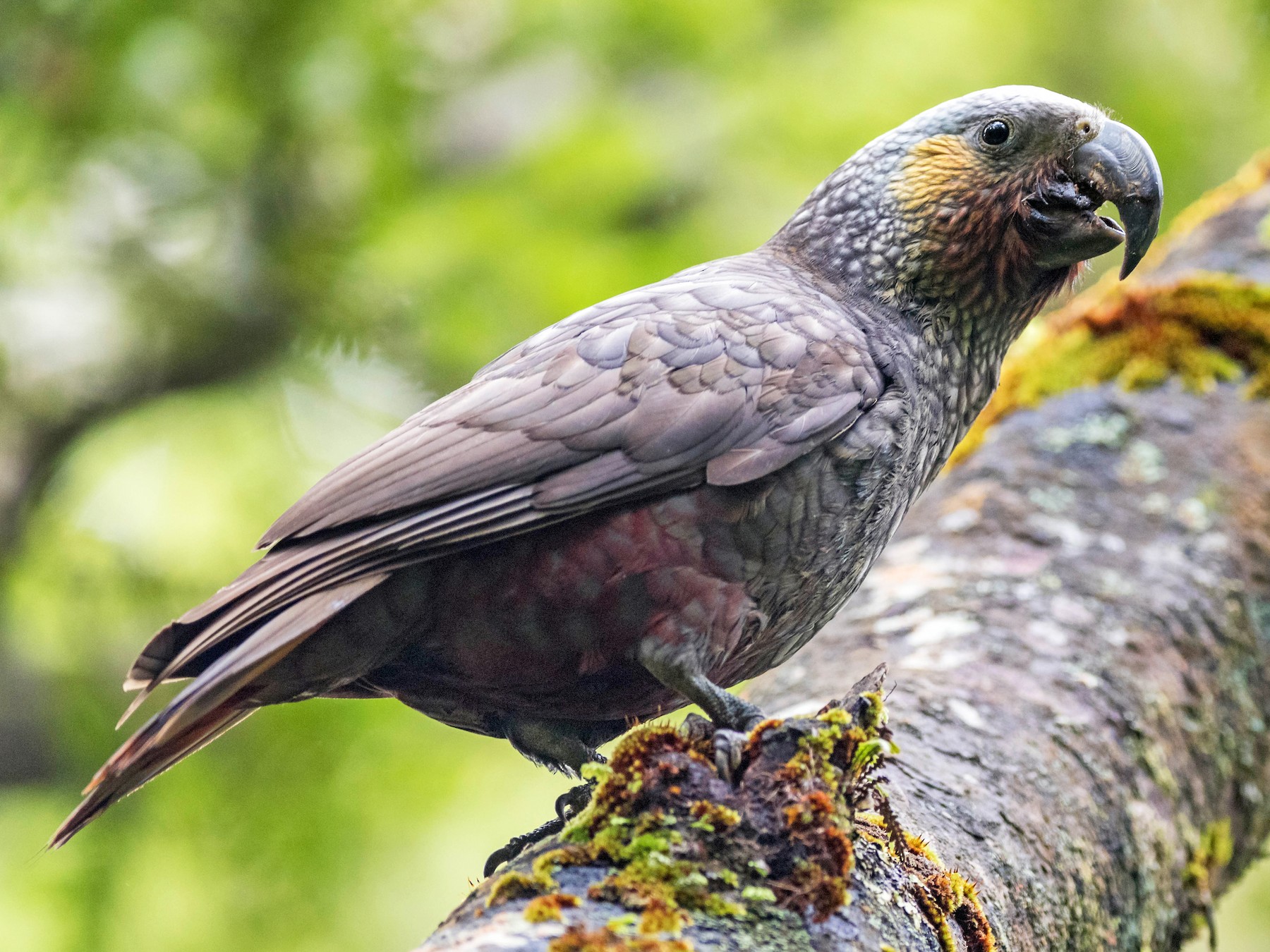
Open Source Geospatial Tools for Conservation under Climate Change - a Koala Case Study
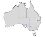
Geospatial Share is going international with a pre-workshop for ICCB held in Meanjin/Brisbane on June 14-15th, 2025. The 2-day workshop is free for attendees of the conference - see registration details on the conference website.
This workshop is designed to build practical skills in the use of open source geospatial tools to address real world conservation challenges. Using koala populations in south east Queensland as a case study, we have assembled a team of experts to cover:
Getting started with geospatial tools in R - Jason Flower (University of California, Santa Barbara), Mitchel Rudge (Bush Heritage Australia), Catherine Kim (QUT)
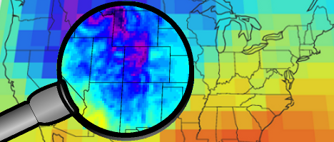
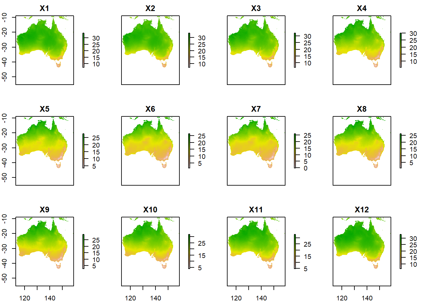
Working with climate projection models - Ralph Trancoso, Sarah Chapman, Rohan Eccles (Queensland Future Climate Science Program)
Modelling the future distribution of koalas - Scott Forrest and Charlotte Patterson (QUT)
Putting it all together with conservation spatial planning - Caitie Kuempel (Griffith University) and Brooke Williams (The University of Newcastle)
Integrating R with QGIS to create beautiful maps - Emma Hain (North Road and QGIS Australia), Nyall Dawson (North Road and QGIS Australia), Jason Flower.